Tortilla Flat, Arizona: A Complete Guide
A guide to Tortilla Flat, Arizona, the tiny historic town on the Apache Trail in the Superstition Mountains: what to do, how to get there, and what is nearby.
Blink and you would miss it, except that nobody does. Tortilla Flat, Arizona bills itself as the smallest official town in the state, with a population you can count on one hand, and it draws a steady stream of visitors anyway. Tucked into the Superstition Mountains on the historic Apache Trail, it is one of the most charming day trips within reach of Scottsdale and Phoenix. Here is what it is, how to get there, and what to do once you arrive.
What is Tortilla Flat?
Tortilla Flat is the last surviving stagecoach stop on the Apache Trail, a route first built to haul supplies for the construction of Roosevelt Dam in the early 1900s. Today it is a tiny cluster of Old West buildings in the Tonto National Forest: a restaurant and saloon, a country store, a small chapel, and a handful of shops. The permanent population famously hovers around six people, which is a big part of its charm.
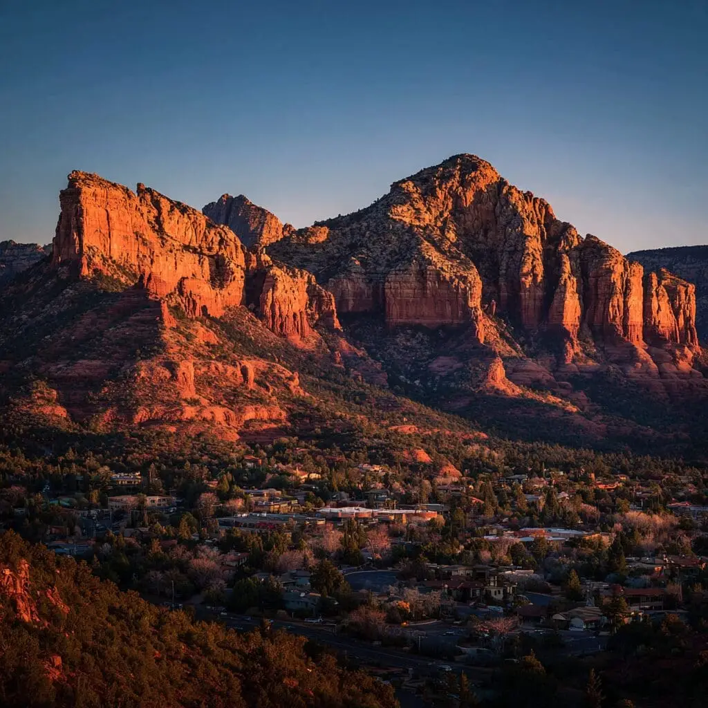
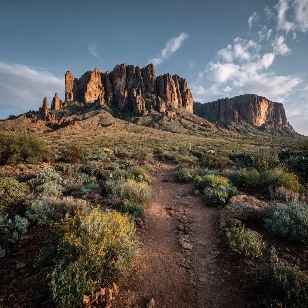
The setting is the real draw. Tortilla Flat sits deep in the Superstition Mountains, surrounded by red rock cliffs, saguaro-studded slopes, and the desert lakes strung along the Salt River.
Things to do in Tortilla Flat
There is more personality per square foot here than almost anywhere in Arizona:
- Eat at the Superstition Saloon. The walls and ceiling are papered with thousands of signed dollar bills left by visitors over the decades. Order the chili, served in a bread bowl, and add your own bill to the collection.
- Try the prickly pear gelato. The country store scoops a famous prickly pear ice cream and gelato, made from the fruit of the local cactus. On a warm afternoon it is non-negotiable.
- Browse the shops and snap photos. The Old West storefronts, the saddle bar stools, and the mountain backdrop make it one of the most photogenic little stops in the state.
- Take in the setting. Pull off along the way for the views over Canyon Lake and the Superstition cliffs.
How to get to Tortilla Flat
From Scottsdale or Phoenix, take US 60 east to Apache Junction, then head northeast on the Apache Trail, State Route 88. The paved drive winds past the Superstition Mountains and along Canyon Lake before reaching Tortilla Flat, roughly an hour from Scottsdale. The road is curvy and scenic, so give yourself time and pull off at the viewpoints.
One important note: the unpaved section of the Apache Trail beyond Tortilla Flat, toward Roosevelt Lake and down Fish Creek Hill, has been closed for long stretches due to fire and flood damage in recent years. Check current road status with the Arizona Department of Transportation before planning to continue past town.
What is nearby
Tortilla Flat sits in the middle of some of the best desert country near the Valley. Canyon Lake is just down the road, with boat tours and swimming coves. Saguaro Lake and the surrounding Tonto National Forest trails, where we meet riders for our tours, are close by. The Superstition Mountains and Lost Dutchman State Park anchor the whole area, a magnet for hikers, photographers, and anyone chasing a real Arizona backdrop. Our Superstition Mountains and Apache Trail guide covers the whole loop.
Make it a full desert day
Tortilla Flat pairs perfectly with time out on the trails. The same Superstition and Tonto National Forest country that frames the Apache Trail is where we run our guided desert tours. Spend the morning driving your own sand buggy on a U-Drive guided sand buggy tour, then make the scenic drive out to Tortilla Flat for lunch and a scoop of prickly pear gelato. For more ideas, see our guide to the top day trips from Scottsdale and Phoenix.