Four Peaks, Arizona: A Guide to the State's Most Famous Skyline
Four Peaks is the jagged ridge east of Phoenix and Scottsdale. See what it is, where to view it, and how to ride toward it at golden hour.
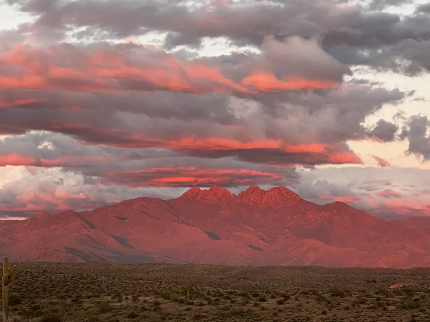
Four Peaks is the jagged, four-summit ridge on the eastern skyline of the Phoenix area, and the best time to see it is golden hour. It’s the backdrop in a huge share of the photos our guests take, and if you’ve spent any time in the Valley you’ve seen it even if you didn’t know its name. Here’s what it is, where to see it, and how to get close to it without a long hike.
What Is Four Peaks?
Four Peaks sits inside the Tonto National Forest, northeast of Phoenix and Scottsdale. The ridge has four distinct summits, and the whole area is protected as the Four Peaks Wilderness. Brown’s Peak, the tallest, tops out at about 7,600 feet, which makes it the high point of the Mazatzal range.
It looks enormous from the desert floor because the land around it is so low. The Sonoran Desert near Scottsdale sits at roughly 2,000 feet, and the ridge rises out of it with nothing in the way. That contrast is why it photographs so well.
Where to See Four Peaks
You don’t need to hike to see it. Some of the easiest views:
- The east Valley and north Scottsdale. On a clear day the ridge shows up on the eastern horizon from a lot of neighborhoods.
- Bush Highway and the Saguaro Lake area. The road runs through open desert and the mountain gets bigger with every mile. Our Salt River wild horses guide covers the same stretch.
- The Beeline Highway (AZ-87). Pull-offs along the way give you wide views north and east.
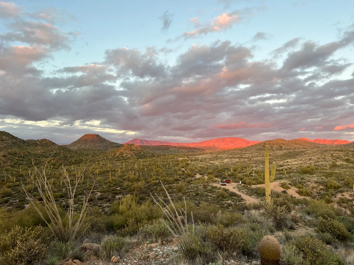
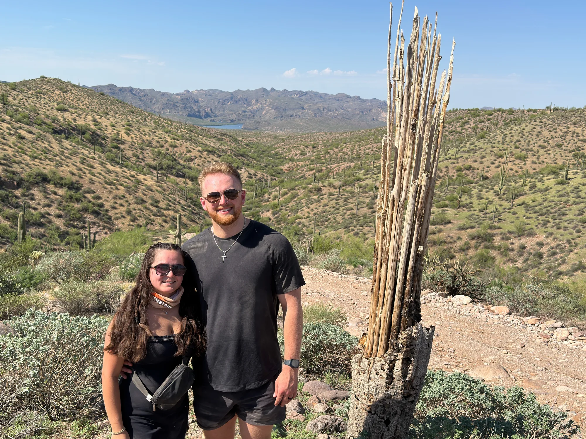
- Out on the trail. From the desert ridges in the Tonto, the mountain fills the sky. This is where most of our guest photos come from.
The Best Time to See It
Golden hour wins. In the last hour or two before sunset the rock turns red and pink and the shadows give the ridge its shape. Midday light flattens it, and haze can wash it out in summer.
- Fall through spring has the clearest air, and the mountain looks sharpest. Our fall in Scottsdale guide has more on the season.
- Winter and spring storms can leave snow on the high summits. It doesn’t happen every year, so don’t plan around it.
- Summer monsoon evenings give you huge clouds around the ridge. The photo at the top of this page is a good example.
Hiking Four Peaks
The trails in the Four Peaks Wilderness are real mountain hikes: steep, rocky, remote and exposed. This isn’t a casual morning stroll. Before you go:
- Check current trail and road conditions with the Tonto National Forest, since access can change.
- Carry more water than you think you need.
- Start early and tell someone your route.
- Know the local wildlife. Our rattlesnake guide covers what to do on an encounter.
For an easier hike close to Scottsdale, see our best hikes near Scottsdale.
Ride Toward It Instead
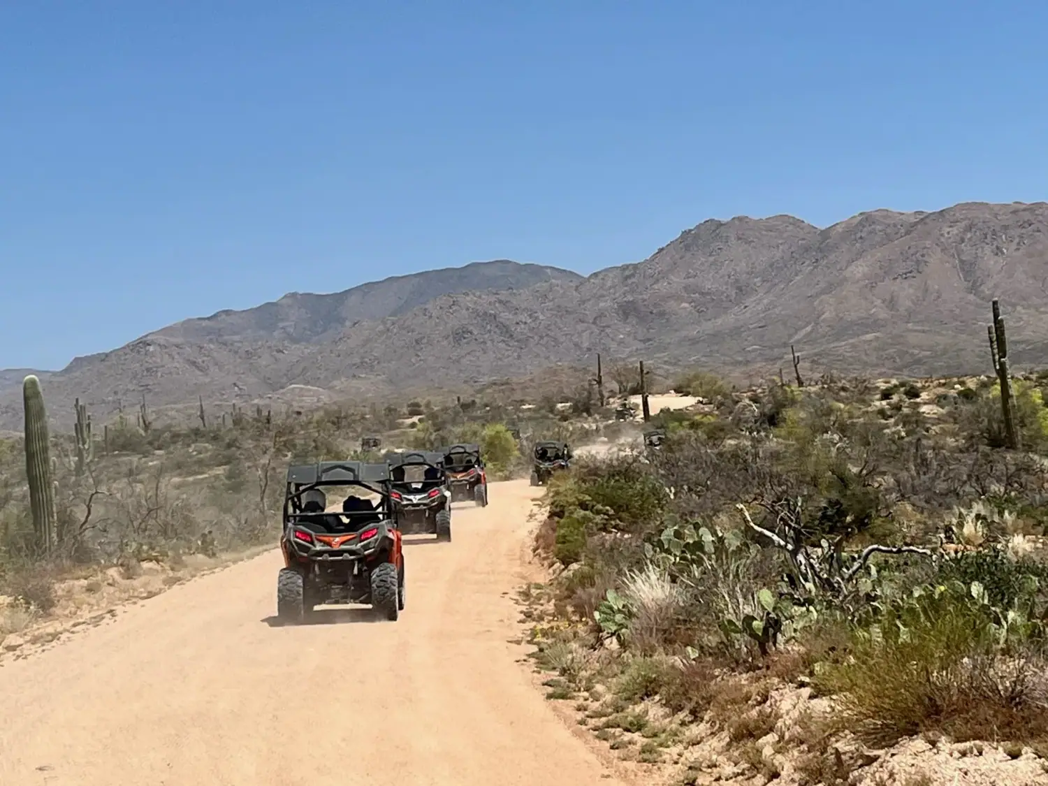
If you’d rather see Four Peaks from the driver’s seat, that’s what our tours are for. Our sunset U-Drive tour runs toward golden hour with views of Four Peaks, and you drive your own machine on desert trails in the Tonto National Forest. Your guide leads the route and shoots free photos of your group, so you get the mountain in the background without stopping to fumble with your phone.
A few things worth knowing, straight from our tour facts:
| Price | $299 per two-seat buggy (about $150 per person), solo riders from $199, plus tax and fees |
| Ages | Drivers 16+ with a license, riders 8+ |
| Trail | 20 to 25 miles, 2+ hours |
| Drive from Scottsdale | About 45 minutes |
Want more photo ideas? Our guide to the most Instagram-worthy spots on a Scottsdale ATV tour shows what to expect.
Ready to See It Up Close?
Book a guided Scottsdale ATV tour, or time your ride for golden hour on the sunset U-Drive tour. Staying in the Phoenix area? See our Phoenix ATV tours page for drive times. Questions? Call Desert Dog Offroad Adventures at (480) 837-3966.